Enquire Now
Topographic Survey Services in UAE (Abu Dhabi | Dubai | Al Ain | Sharjah | Ajman | Fujairah | Ras Al Khaimah)**
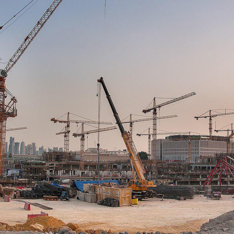
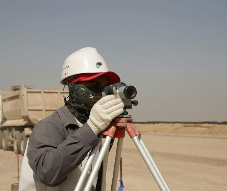
In the UAE’s rapidly developing landscape—from the high-rise clusters of Dubai to the heritage zones of Al Ain and the coastal expansion of Abu Dhabi—every project begins with one essential step: accurate land information. Topographic surveying provides this foundation by precisely mapping the natural and man-made features of the terrain before any construction or design work begins.
Why Topographic Surveying is Essential in the UAE
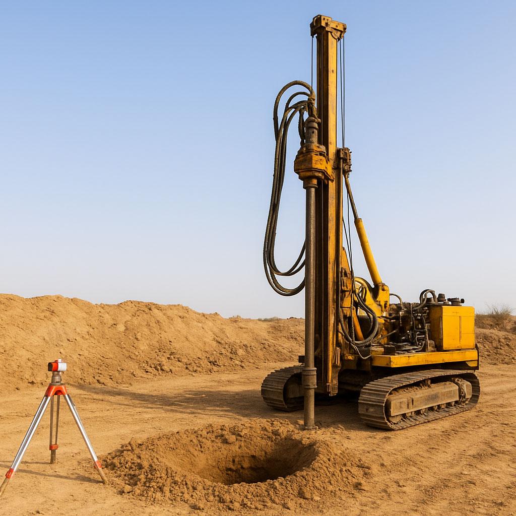
A topographic survey measures elevations, contours, surface features, infrastructure, and land boundaries. In a country where terrains range from open desert to mountainous zones and densely built urban corridors, precise survey data is crucial for:
- Safe and well-planned construction
- Reducing design errors and rework
- Budget-friendly engineering decisions
- Ensuring compliance with UAE authorities
Accurate land mapping ensures projects move from concept to execution smoothly and efficiently.
Core Benefits of Topographic Surveying
- Informed Site Planning
Engineers and architects rely on topographic data to create layouts that work with the terrain, not against it. This ensures optimal drainage, grading, and structural stability.
- Earthwork & Cut-Fill Calculations
Topographic surveys help determine the volumes of soil required for excavation and filling, helping reduce waste and project costs.
- Contour & Elevation Mapping
Mapping natural slopes, ridges, valleys, and elevation changes supports road design, landscaping, and infrastructure placement.
- Utility & Asset Identification
Professional surveys locate visible and underground utilities, protecting contractors from clashes or accidental damage during construction.
- Digital Terrain Models (DTMs)
Transforming field data into 2D and 3D models provides engineers with accurate visualizations for design, analysis, and simulation.
Advanced Technology Used in Modern Topographic Surveys
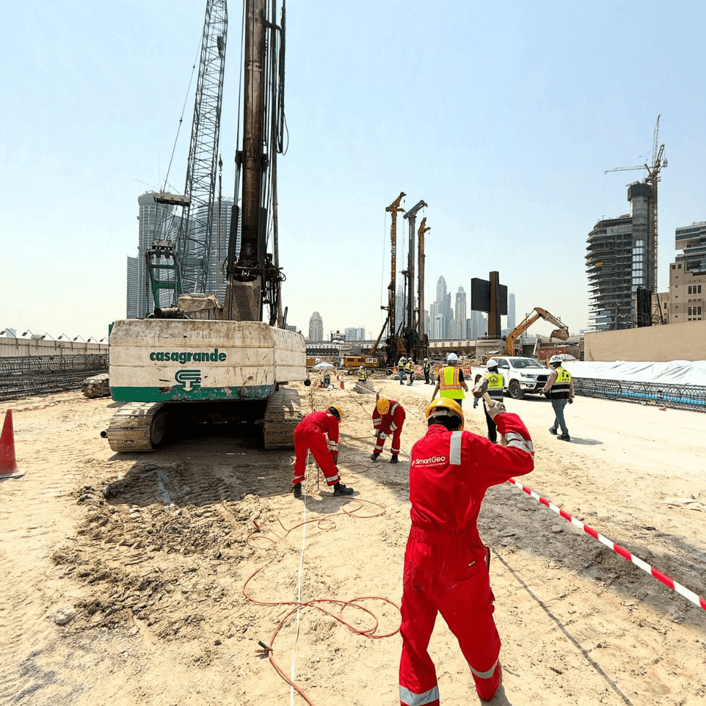
At SmartGeo, we combine traditional surveying expertise with modern digital tools to deliver reliable land data:
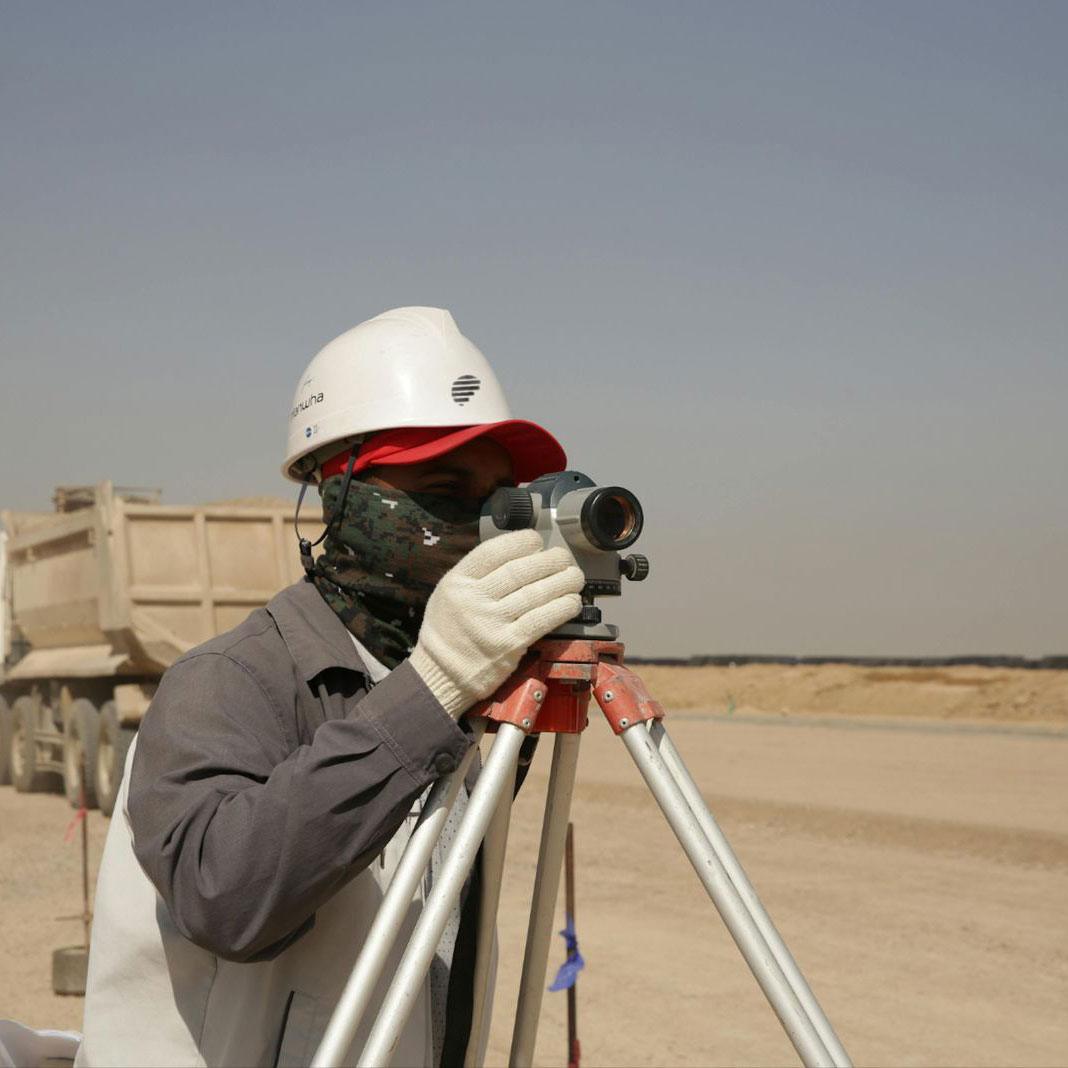
- Total Station & RTK GPS for pinpoint accuracy
- Drone-based aerial mapping for large and inaccessible areas
- LiDAR scanning for high-density point cloud capture
- GIS-supported mapping for spatial analysis and asset management
- 3D terrain modeling & AutoCAD outputs ready for engineering design
These technologies ensure precise and dependable topographic data for every type of project.
Why Developers Across the UAE Choose SmartGeo
Our topographic survey solutions are trusted for:
- Increased construction efficiency
- Reduced project risks and delays
- Compliance with UAE municipal requirements
- Accurate data for land development, infrastructure, and engineering design
SmartGeo’s survey team delivers projects across Abu Dhabi, Dubai, Al Ain, Sharjah, Ajman, Fujairah, and Ras Al Khaimah—ensuring every client receives data that is accurate, actionable, and aligned with international standards.