Enquire Now
How Geophysical Surveys Save Time and Money in Construction Projects in UAE
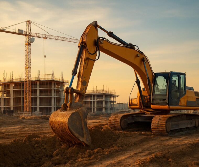
In the fast-paced construction industry of the UAE, efficiency and cost-effectiveness are critical to project success. One of the most effective tools supporting this goal is geophysical surveying in UAE, which provides accurate subsurface data without extensive drilling or excavation. These methods are widely used alongside geotechnical drilling to improve planning and reduce project risks.
What Are Geophysical Surveys?
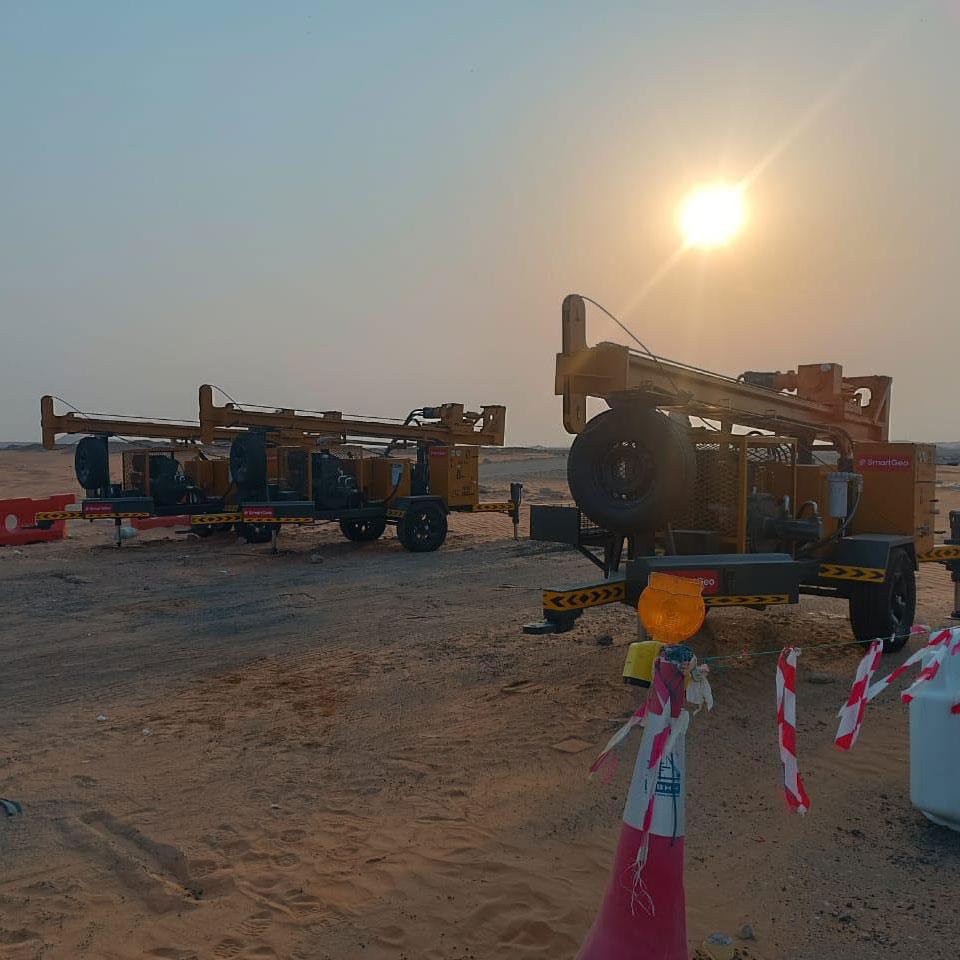
Geophysical surveys use non-invasive technologies such as Ground Penetrating Radar (GPR), Electrical Resistivity Tomography (ERT), and MASW seismic methods to study subsurface conditions. These techniques help identify soil layers, rock formations, groundwater levels, and underground utilities before construction begins.
They are often integrated with soil investigation and ground investigation services for complete site understanding.
Time-Saving Advantages
Faster Site Assessment
Geophysical methods cover large areas quickly, reducing dependency on multiple boreholes and accelerating early-stage site evaluation.
Early Detection of Hazards
These surveys help identify buried utilities, cavities, and weak soil zones early, reducing delays and supporting safer planning decisions supported by geophysical studies UAE.
Reduced Trial-and-Error
Engineers can design foundations more efficiently using accurate subsurface models, minimizing redesign during construction.
Cost-Saving Benefits
Minimized Excavation Costs
By identifying underground utilities and rock layers in advance, contractors reduce accidental damage and avoid expensive repairs.
Optimized Design
Accurate subsurface data supports better foundation planning when combined with geotechnical engineering services.
Reduced Risk of Delays
Timely geophysical data ensures smoother project execution and minimizes construction stoppages.
Applications in UAE Projects
In rapidly developing cities such as Abu Dhabi, Dubai, and Sharjah, geophysical surveys are essential for safe and efficient construction planning. They are widely used in:
- Infrastructure projects such as highways, bridges, and metro systems
- Residential and commercial developments supported by foundation material testing
- Utility mapping before excavation works
- Marine and coastal developments using marine geotechnical investigation
Conclusion
Geophysical surveys play a critical role in modern construction projects across the UAE by combining speed, accuracy, and cost efficiency. When integrated with geotechnical consulting and laboratory testing, they significantly improve project planning and reduce overall risk.
For developers and contractors, adopting geophysical surveys early in the project lifecycle ensures safer, faster, and more cost-effective construction outcomes.