Enquire Now
Integrated Geophysical and Geotechnical Investigation in UAE | Advanced Subsurface Analysis for Safer Construction
In the UAE’s rapidly developing construction sector, accurate subsurface understanding is essential for safe engineering design. An integrated approach combining geotechnical investigation, geophysical survey, and ground investigation ensures better decision-making for projects in Dubai, Abu Dhabi, Al Ain, and across the UAE.
Why Subsurface Uncertainty is a Major Risk in UAE Projects
The UAE has highly variable soil conditions, from desert sands to reclaimed coastal land. Without proper soil investigation and soil testing, projects face serious risks.
- Unexpected settlement and foundation failure
- High construction cost due to redesign
- Structural instability in high-rise buildings
- Delays in approvals and execution
Integrated Investigation Approach in UAE
An integrated method combines geophysical survey techniques with borehole drilling services and laboratory analysis to build a complete subsurface model.
- Non-invasive GPR survey and geophysical mapping
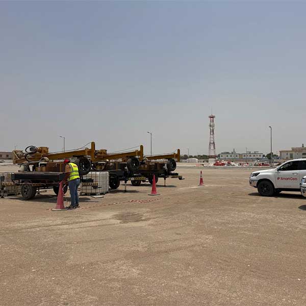
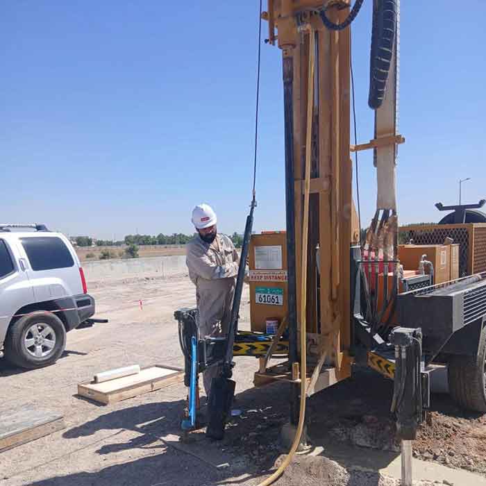
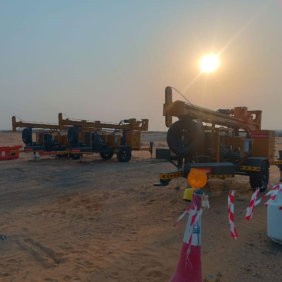
- Targeted geotechnical drilling
- Lab verification using geotechnical laboratory
- Material validation through material testing lab
Role of Geophysical Methods
Geophysical company solutions help identify underground conditions before drilling starts. These methods are widely used in geophysical studies across UAE projects.
- Detect underground voids and weak zones
- Map rock depth and soil layers
- Identify groundwater influence areas
- Reduce unnecessary boreholes
Role of Geotechnical Investigation & Laboratory Testing
While geophysical methods provide overview data, geotechnical investigation confirms actual soil properties through field and lab testing.
- borehole drilling and sampling
- soil testing lab analysis
- geotechnical laboratory testing
- Engineering interpretation by geotechnical consultants
How Integration Reduces Construction Risk
Combining datasets improves accuracy in foundation material testing and structural design.
- Better foundation design accuracy
- Reduced geotechnical uncertainty
- Lower project cost and delays
- Improved safety and compliance
Applications in UAE Construction Projects
- High-rise developments in Dubai
- Infrastructure projects in Abu Dhabi
- Industrial zones in Al Ain
- Marine works using marine geotechnical investigation
Conclusion
Integrated geotechnical investigation combined with geophysical survey UAE methods ensures safer, faster, and more reliable construction outcomes.
By combining soil testing company services, laboratory analysis, and field investigations, SmartGeo delivers complete subsurface intelligence for every project.