Enquire Now
Geophysical Technology: Transforming UAE’s Construction Sector
The UAE’s rapid urban growth has increased the demand for accurate, efficient, and safe construction practices. As infrastructure projects expand, hidden subsurface challenges such as unknown utilities, variable soil conditions, and geological hazards become critical concerns. This is where
geophysical technology in UAE is transforming the construction sector.
Mapping the Unseen Ground
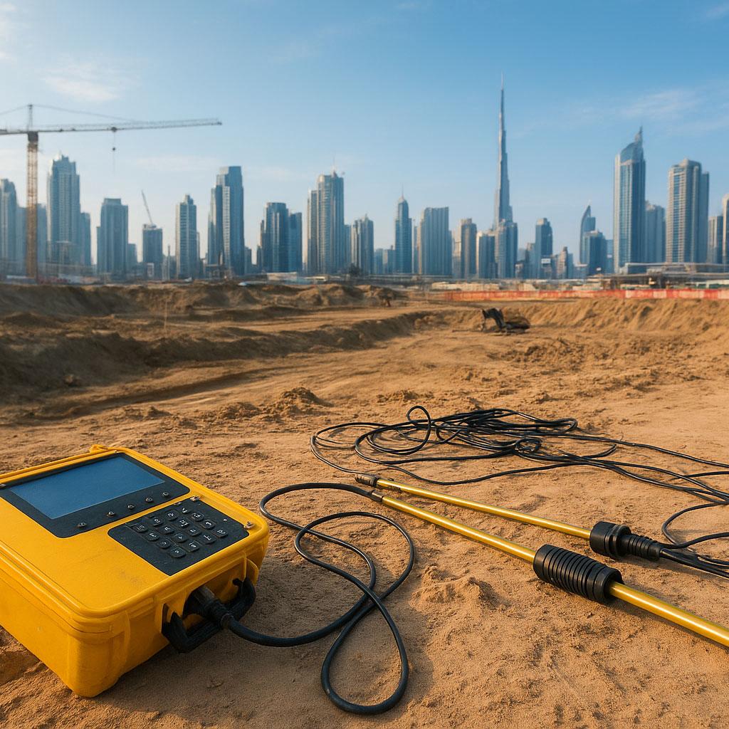
Geophysical surveys enable engineers to visualize subsurface conditions without excavation. Advanced methods such as
Ground Penetrating Radar (GPR), seismic refraction, and resistivity imaging help map underground utilities, voids, and soil layers.
These technologies are often integrated with
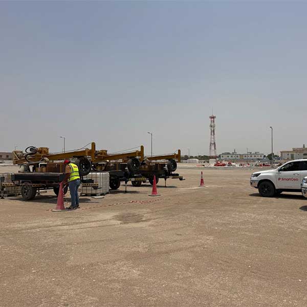
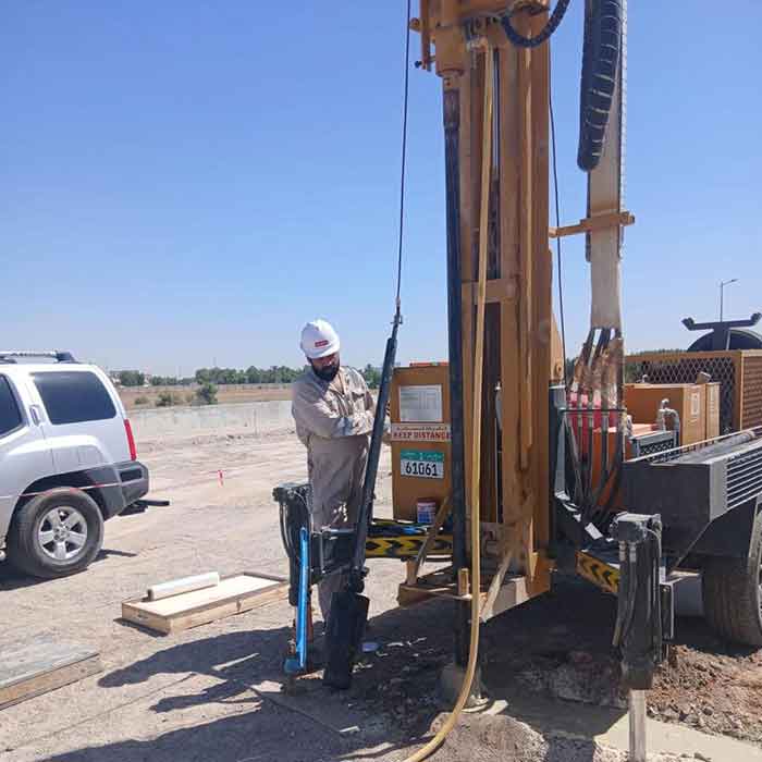
ground investigation services to provide a complete understanding of site conditions before construction begins.
Reducing Risks in Construction Projects
Unexpected ground conditions are one of the leading causes of delays and cost overruns. By combining geophysical methods with
geotechnical engineering services, contractors can identify risks early.
- Detection of buried pipelines and utilities
- Identification of groundwater levels
- Mapping of rock formations and voids
- Prevention of damage to existing infrastructure
Early detection improves safety and supports better planning and design decisions.
Supporting Sustainable Urban Development
The UAE’s focus on sustainability and smart cities makes non-invasive solutions essential. Geophysical surveys reduce unnecessary excavation, minimize environmental impact, and complement
soil testing services for eco-friendly development.
- Reduced material waste
- Lower environmental disturbance
- Protection of underground infrastructure
- Support for green construction initiatives
Cost and Time Savings
Accurate subsurface data helps construction teams avoid redesigns and unexpected delays. When integrated with techniques like
borehole drilling and
laboratory testing, geophysical surveys enhance efficiency.
- Reduced project downtime
- Minimized rework and excavation errors
- Improved project scheduling
- Optimized construction costs
Shaping the Future of Infrastructure in the UAE
Geophysical technology is becoming a standard practice across major UAE projects, from metro systems to smart cities. Integration with digital tools such as GIS and BIM is further enhancing accuracy and project planning.
Combined with
geotechnical consultancy services, geophysical data enables smarter, safer, and more resilient infrastructure development.
Conclusion
Geophysical technology is revolutionizing how construction projects are planned and executed in the UAE. By providing accurate, non-invasive subsurface insights, it reduces risks, supports sustainability, and improves overall project efficiency.
For developers and contractors, integrating geophysical surveys into early project stages is no longer optional—it is essential for building a safer and more reliable future.