Enquire Now
Bathymetric Survey in UAE | Seabed Mapping for Marine, Coastal & Offshore Development
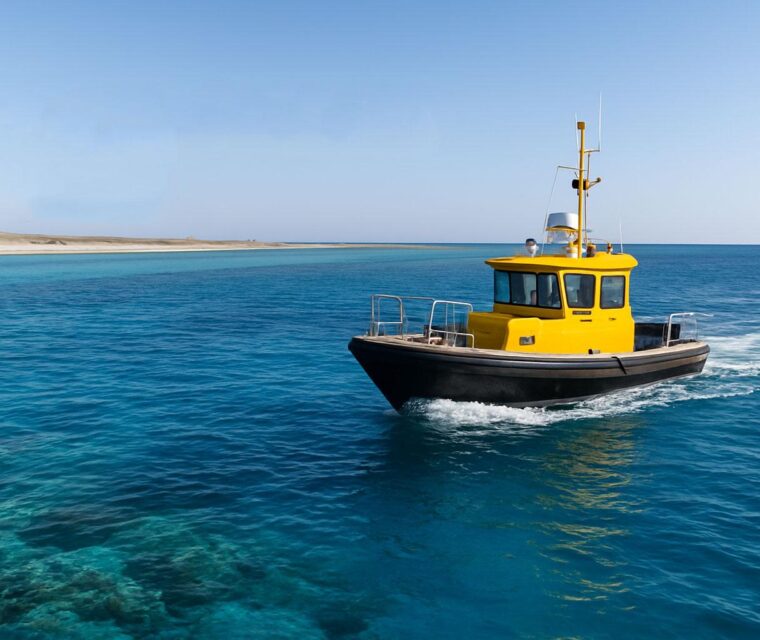
A bathymetric survey in UAE is essential for safe marine and coastal construction. It helps engineers understand underwater terrain. As a result, projects become safer and more accurate. It also supports planning for ports, harbors, and offshore structures.
What is a Bathymetric Survey?
A bathymetric survey maps the seabed using advanced equipment. For example, it uses sonar systems and GPS technology. In addition, it produces accurate depth and contour data. This data is very important for marine engineering projects.
It also works with geophysical studies and geophysical survey UAE. Together, they create a complete view of underwater conditions.
Why Bathymetric Surveys Are Important in UAE
The UAE has many coastal developments. Therefore, accurate seabed mapping is very important. Bathymetric surveys help reduce risks and improve design accuracy.
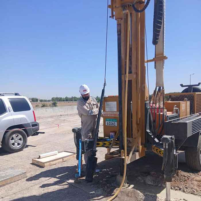
They are often combined with soil investigation and geotechnical services for better results.
- Port development – improves navigation safety and planning
- Dredging works – helps measure seabed changes accurately
- Coastal protection – supports seawall and breakwater design
- Environmental studies – helps monitor marine conditions
- Offshore energy projects – supports safe drilling and pipeline design
Bathymetric Survey in Abu Dhabi and UAE
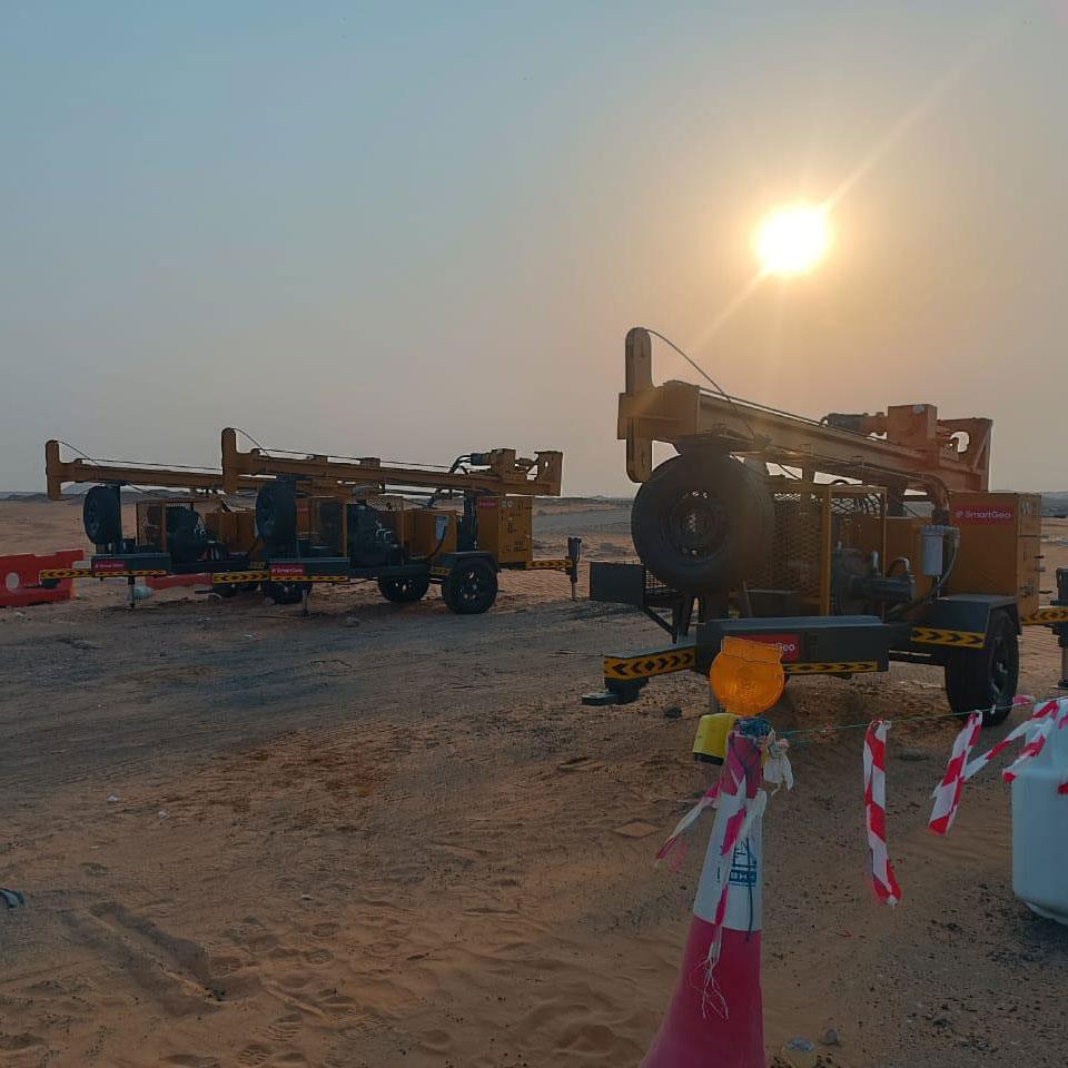
Bathymetric surveys are widely used in Abu Dhabi, Dubai, and across the UAE. They are often combined with CPT marine UAE and borehole drilling services.
In addition, they support GPR survey UAE and other geophysical methods. As a result, engineers get complete subsurface data.
Partnering with Experts
Professional bathymetric survey services ensure accurate and reliable results. They follow international standards and engineering requirements.
SmartGeo also integrates geotechnical laboratory analysis and material testing for better decision-making.
SmartGeo delivers reliable marine and geotechnical solutions across the UAE. Therefore, every project is based on accurate and scientific data.