Enquire Now
Topographic & Hydrographic Surveys in UAE: Mapping Land and Sea for Smart Development
The UAE’s rapid development has transformed deserts into thriving cities, ports, and industrial hubs. Behind every skyscraper, road, and marine project lies precise data collected through topographic surveys in UAE and hydrographic and bathymetric surveys. These surveys are essential for planning, design, and sustainable development across the Emirates.
What Are Topographic Surveys?
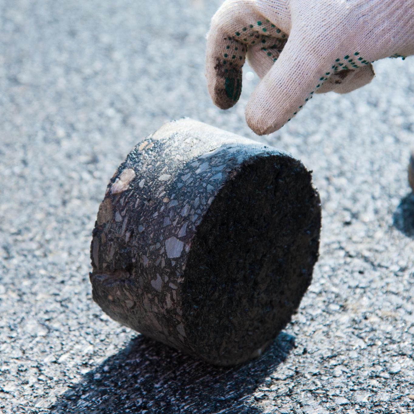
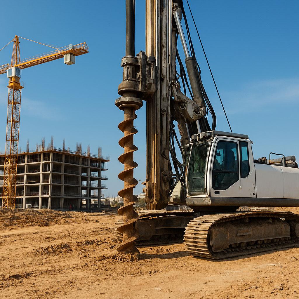
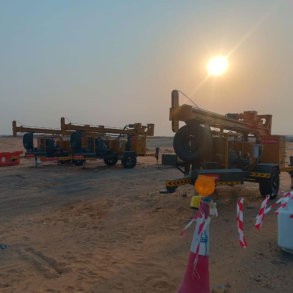
Topographic surveys provide detailed mapping of land surfaces, capturing terrain, slopes, vegetation, and man-made structures. These are closely linked with ground investigation services to ensure accurate site understanding before construction begins.
Engineers and architects across Abu Dhabi, Dubai, and other Emirates rely on this data for safe and efficient project planning.
Applications of Topographic Surveys in UAE
- Master planning of urban areas and new communities
- Road and infrastructure design supported by geotechnical engineering services
- Utility and drainage network planning
- Land subdivision and boundary verification
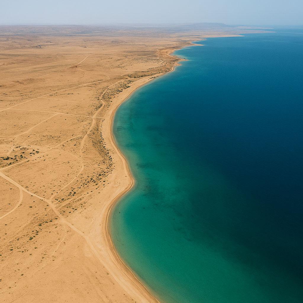
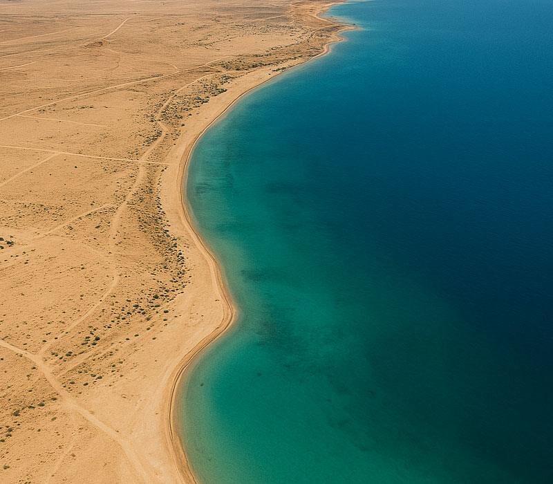
What Are Hydrographic Surveys?
Hydrographic surveys focus on mapping underwater environments such as coastlines, seabeds, rivers, and harbors. In the UAE, these surveys are critical for marine development and are often combined with marine geotechnical investigation.
They provide essential data for safe navigation, dredging, and coastal engineering projects.
Applications of Hydrographic Surveys in UAE
- Port and harbor construction in Abu Dhabi and Dubai
- Dredging and reclamation projects
- Coastal erosion monitoring and shoreline protection
- Offshore oil and gas exploration supported by geophysical studies
Why These Surveys Matter in the UAE’s Growth
As the UAE continues to expand its infrastructure and maritime projects, accurate topographic surveying in UAE and hydrographic data help reduce risks, optimize costs, and ensure compliance with international standards.
These surveys also support environmental protection and sustainable development, ensuring harmony between infrastructure growth and natural ecosystems.
Conclusion
From mega infrastructure projects to coastal development, topographic and hydrographic surveys are shaping the UAE’s future. When combined with soil testing and geotechnical analysis, they form the backbone of smarter, safer, and more sustainable construction.