Enquire Now
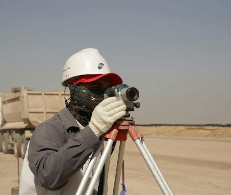
Topographic Survey Services in UAE (Abu Dhabi | Dubai | Al Ain | Sharjah | Ajman | Fujairah | Ras Al Khaimah)
In the UAE’s rapidly developing landscape—from the high-rise clusters of Dubai to the heritage zones of Al Ain and the coastal expansion of Abu Dhabi—every project begins with one essential step: accurate land information. Topographic surveying provides this foundation by precisely mapping the natural and man-made features of the terrain before any construction or design work begins. This data works alongside ground investigation and soil investigation to ensure safe and reliable project development.
Why Topographic Surveying is Essential in the UAE
A topographic survey measures elevations, contours, surface features, infrastructure, and land boundaries. In a country where terrains range from open desert to mountainous zones and densely built urban corridors, precise survey data is crucial. When combined with geotechnical services and geophysical survey, developers gain a complete understanding of both surface and subsurface conditions.
- Safe and well-planned construction supported by accurate soil test data
- Reducing design errors with expert geotechnical consultants
- Budget-friendly engineering decisions using material testing lab
- Ensuring compliance with UAE authorities via certified soil testing lab
Accurate land mapping ensures projects move from concept to execution smoothly and efficiently, especially with integrated geotechnical laboratory support.
Core Benefits of Topographic Surveying
Informed Site Planning
Engineers rely on topographic data along with soil investigation and ground testing to create efficient layouts.
Earthwork & Cut-Fill Calculations
Survey data helps determine excavation volumes. Combined with proctor test and foundation material testing, it reduces cost and waste.
Contour & Elevation Mapping
Terrain mapping supports infrastructure design. Integration with asphalt testing improves durability.
Utility & Asset Identification
Advanced detection using GPR survey and geophysical studies prevents underground conflicts.
Digital Terrain Models (DTMs)
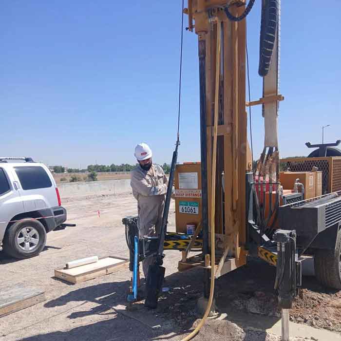
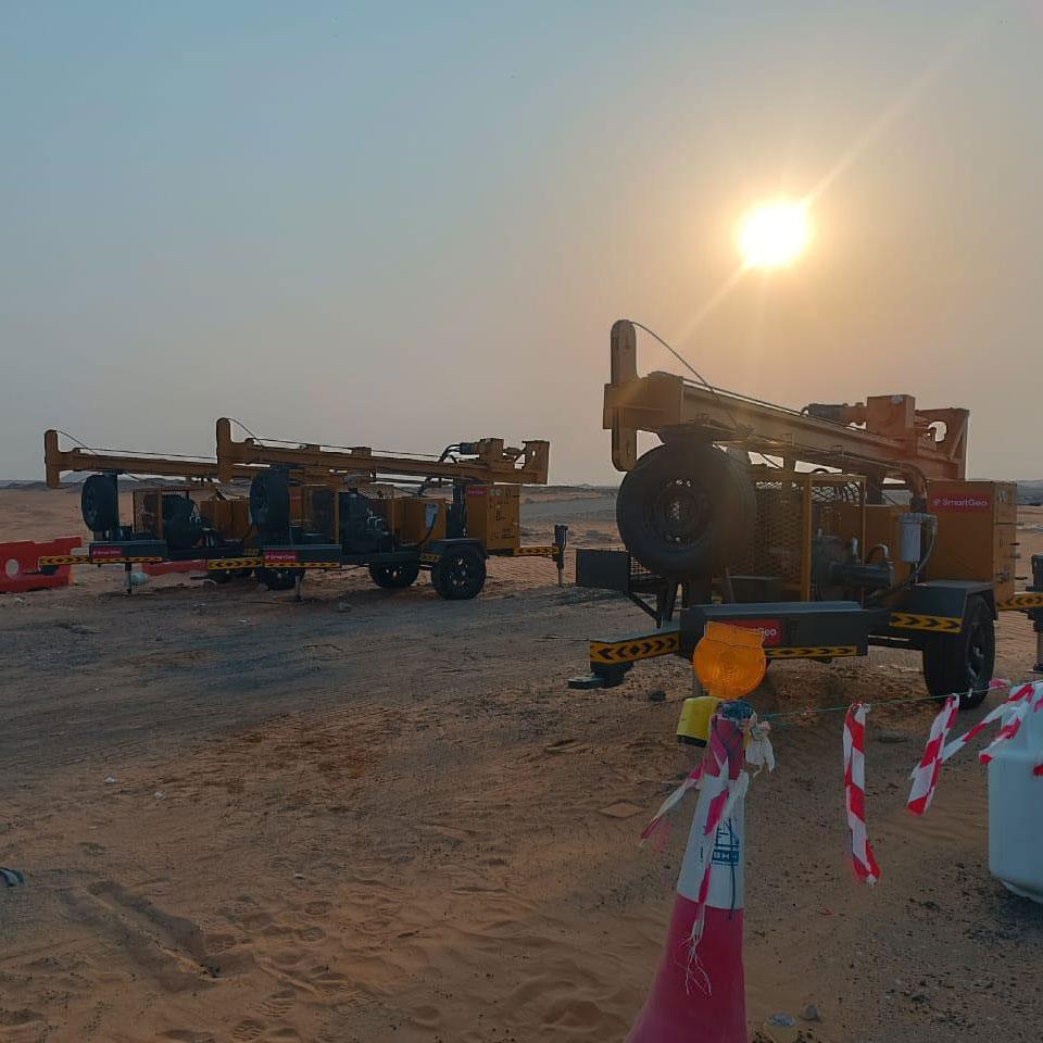
3D modeling is enhanced with geotechnical drilling and borehole drilling services.
Advanced Technology Used
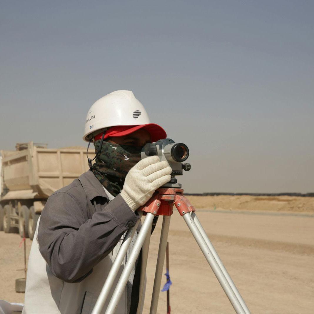
- Total Station & RTK GPS
- Drone aerial mapping
- LiDAR scanning
- GIS mapping systems
- 3D terrain modeling
We also provide marine solutions such as bathymetric survey, marine geotechnical investigation, marine subbottom profiling, and CPT marine.
Why Choose SmartGeo
- End-to-end solutions from geophysical company to borehole drilling
- Accurate soil and survey data
- Reduced project risks and delays
- UAE authority-approved reporting
SmartGeo delivers across Abu Dhabi, Dubai, Al Ain, Sharjah, Ajman, Fujairah, and Ras Al Khaimah, offering complete solutions including soil laboratory, geotechnical laboratory, and full ground investigation services.